the challenge
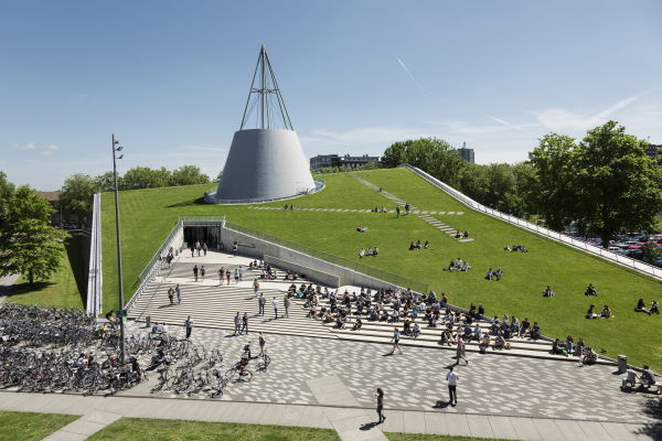
One of the most important measures against the spread of the coronavirus is to keep one and a half metres away from each other. To do this properly, you need to know how and where people move and how that changes over time. The Mobility Innovation Centre Delft is trying to gain insight into this through research on the TU Delft campus.
the solution
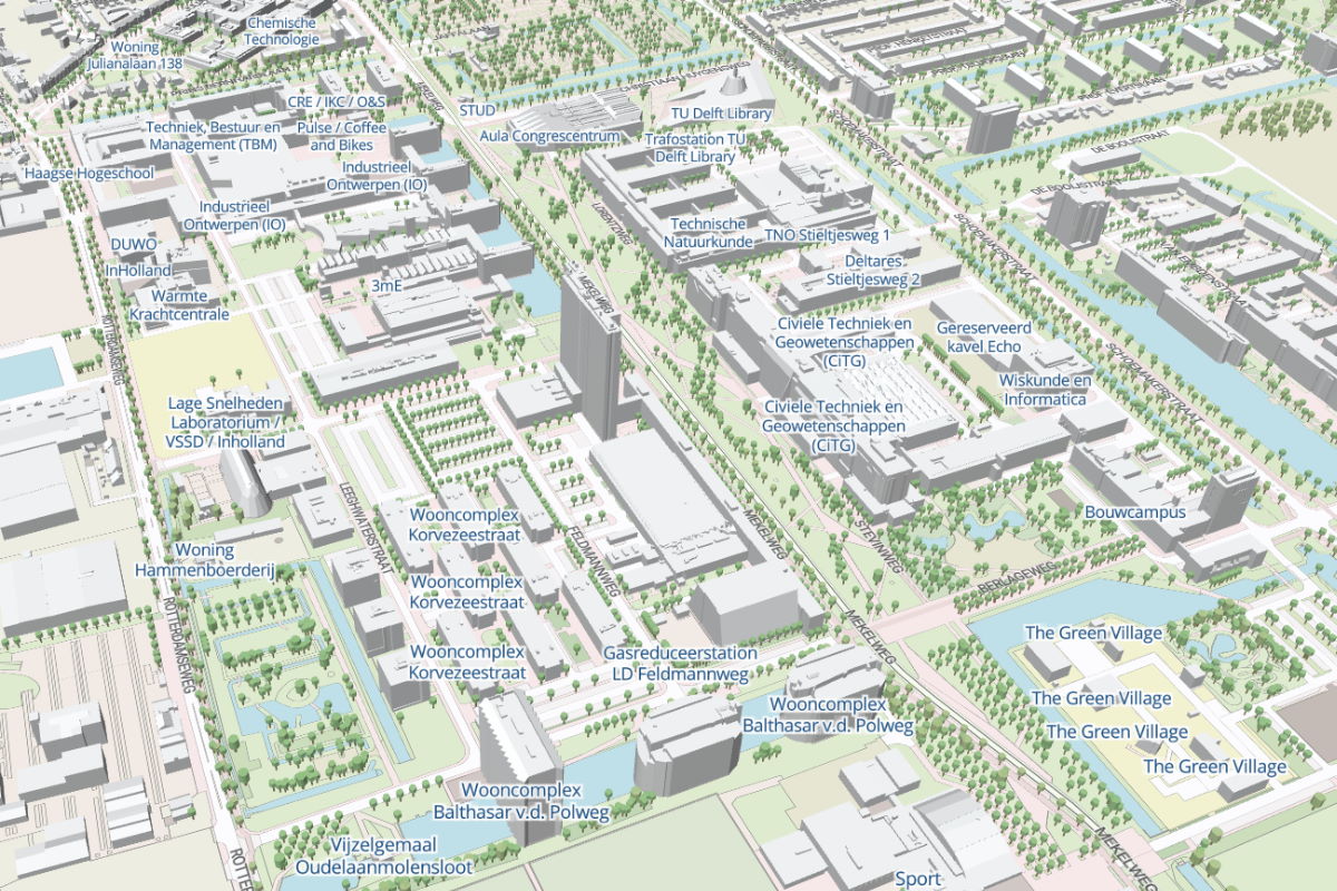
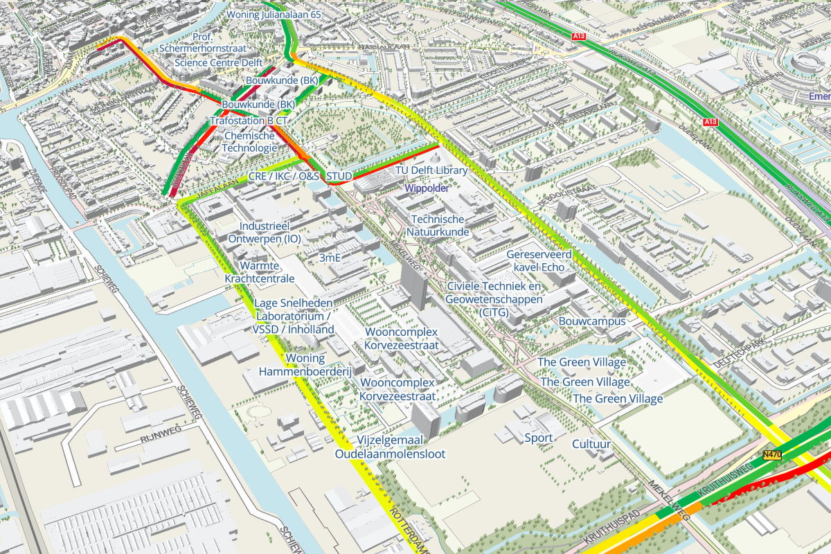
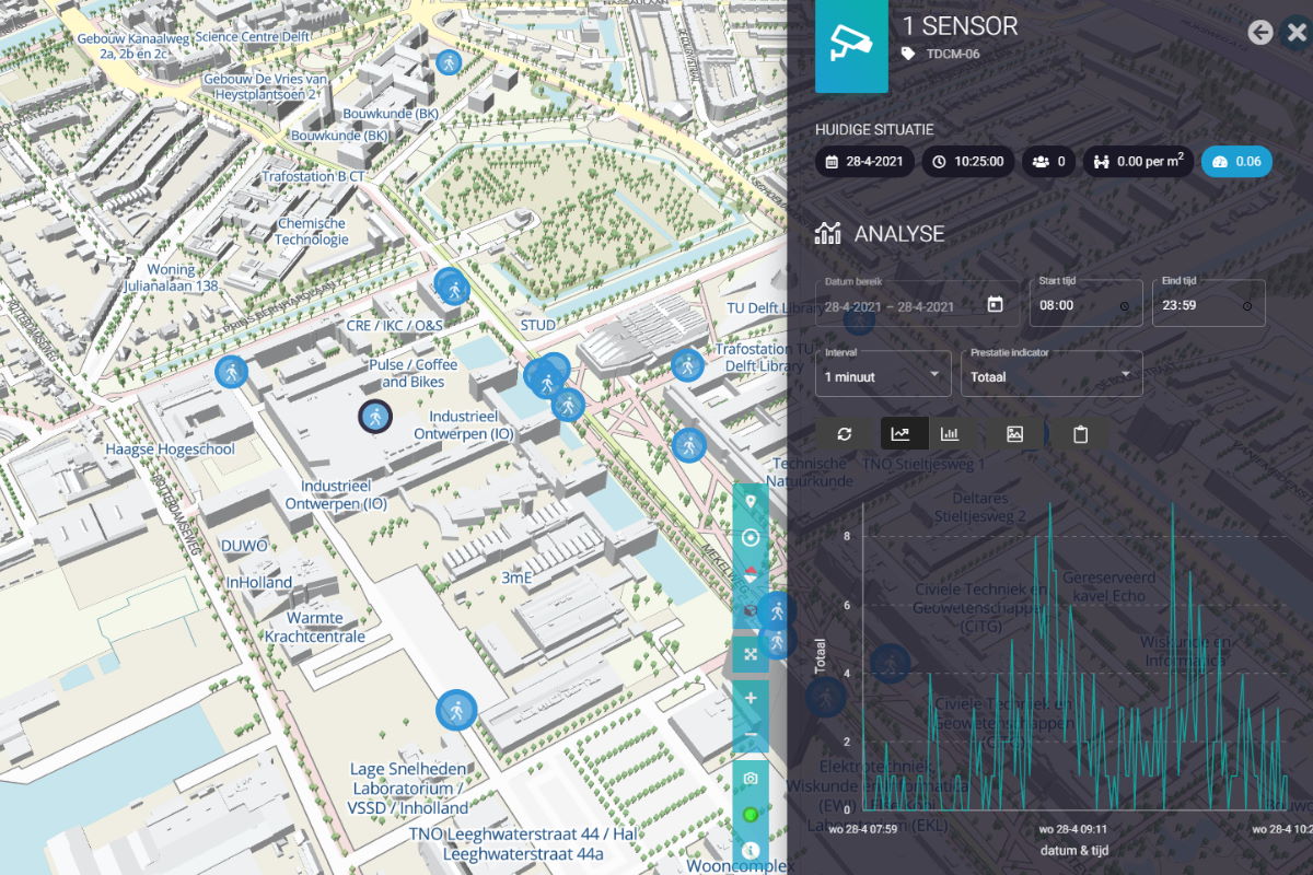
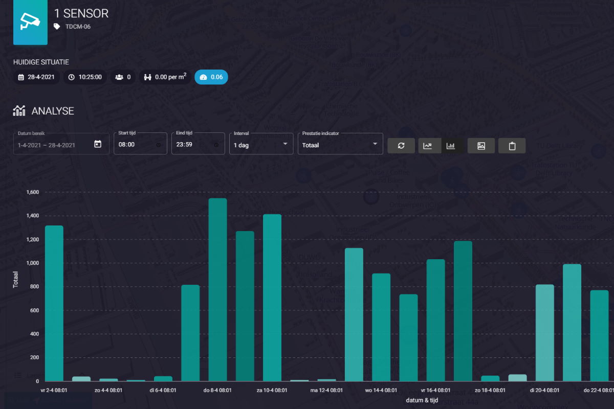
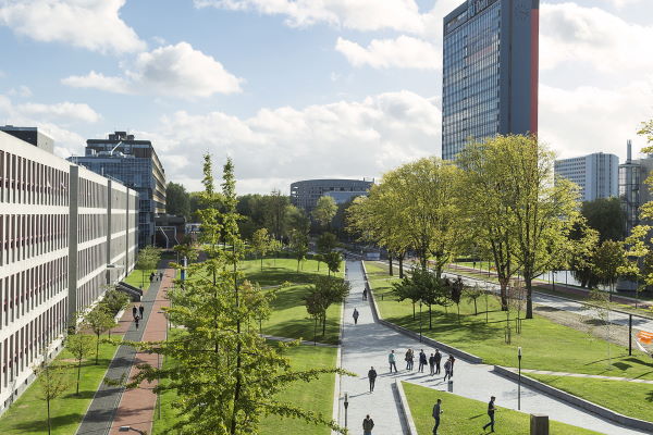
Where and when should measures be taken against congestion, and how effective are they? A network specially constructed on the university campus tries to answer this question. Sensors in the network convert visual information into privacy-preserving data, showing pedestrians and cyclists as moving dots. This information is combined with public data, including the opening times of bridges and the real-time locations of trains, buses and trams. The combined information is visualized in the Outdoor Mobility Digital twin, a Digitwin of the university campus. This 3D model works with heat maps (colour coding) to indicate, for example, how busy it is somewhere.
This DigiTwin contains a.o.
- Link with live pedestrian & bicycle sensors
- Live car traffic information
- Real-time positions of buses, trams and trains
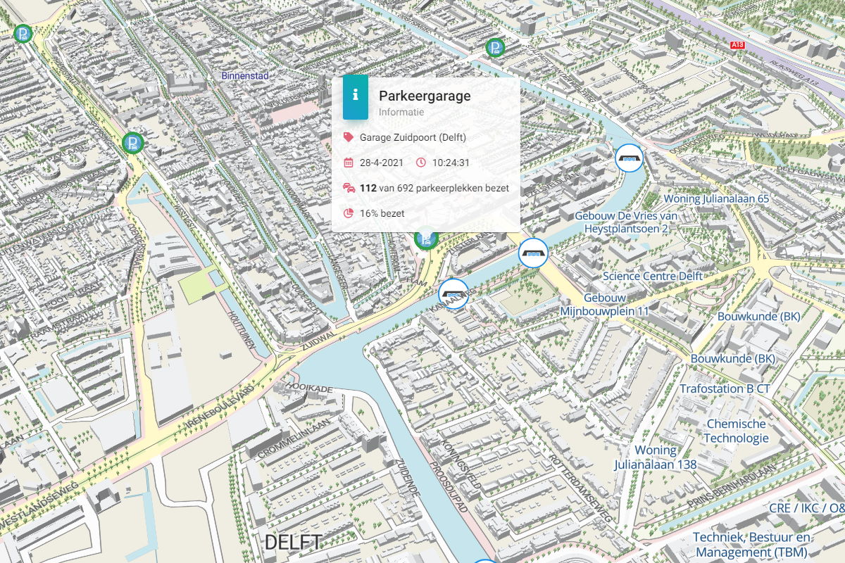
- Occupancy of car parks
- Live information from bridges
result
In the current situation, this tells the campus management to what extent maintaining a distance of one and a half metres is feasible and identifies critical locations. Based on this, measures can be taken, varying from the advice to take certain (quieter) routes, to travel at a different time or by a different means of transport, to adapting class schedules or introducing one-way traffic on cycle paths.
"The Outdoor Mobility Digital twin gives us the digital infrastructure to develop and test numerous innovations in the mobility field." Read interview
Further developments
Knowledge about mobility is obviously not only useful during the current pandemic but also in the period thereafter, for example for calculating new spatial and mobility plans. That is why the sensor network must develop into a fully-fledged Mobility Lab for scientific research in the future. To this end, new sensor technology is being developed for cheaper and more reliable measurements.
A related issue is how to combine different data sources in the best possible way in order to obtain more accurate information (data fusion). This is a difficult task, given the diversity of data from the various sensors, but one that can lead to much greater information quality as well as the generation of new information. One example is the combination of data from the public transport companies with information from the sensors in order to accurately estimate and predict the occupancy of buses that pass through the campus.
Are you also interested in a Digital Twin to map real-time mobility in your city or region?


