In collaboration with fellow municipalities and other experts, we have developed this dashboard. It provides insight into the effects of the one and a half meters of society in your city. The dashboard can support your municipality with outdoor challenges. Below you will find some highlights of the dashboard.
your city in 3d
The information is collected in a 3D map from many public national maps and sources. This gives an up-to-date and accurate picture of each environment and location. Think of footpaths, squares, cycle paths but also buildings and their function. Think of catering establishments and hospitals. The 3D map is available for every city and village in the Netherlands.

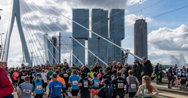
capacity Social distance
The tool provides insight into the 'corona capacity' of the outdoor space. The user zooms in on the intended area and draws a plane in the 3D map. For example in a park or a sidewalk in front of the supermarket. It then indicates both the surface area and the capacity in number of people. This takes into account the one and a half meter rule.
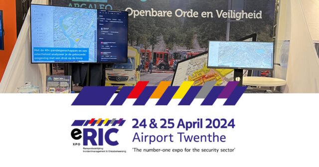
Data-driven working
The RIVM COVID data is updated on a daily basis in order to monitor an up-to-date picture of the corona reports in your environment. In addition, the dashboard offers more than 150 datasets that are used for policy insights. For example, locations of hospitals or number of inhabitants per neighbourhood.

integral overview
The dashboard offers the possibility to link and visualize your own data. Think of terrace locations but also live data such as pressure measurements or pedestrian counting data.

Live Demo
It is a web application and therefore very accessible and scalable. The entire organization can easily access the tool. For municipalities we now offer free access for the period of 1 month. There are no further conditions attached to this. Do you want free access or a live demonstration via web. Please contact us.